Dreaming of stepping from your dock to the Ten Thousand Islands or out through a Gulf pass for a quick run along the coast? If you are looking at homes in Marco Island or Isles of Capri, boating access shapes your day-to-day life as much as the view. You want the right dock, the right route, and a clear sense of how long it takes to reach open water. This guide breaks down backwater vs Gulf access, bridge clearances, dock options, and realistic run times so you can buy with confidence. Let’s dive in.
Isles of Capri boating at a glance
Isles of Capri sits between mainland Naples and Marco Island inside protected estuarine waters. You are close to mangrove-lined channels, shallow flats, and marked routes that lead to the Gulf of Mexico through nearby passes. Tides here typically vary by about 1 to 2 feet, which affects both depth at your dock and clearance under any fixed spans you might encounter.
Most properties offer immediate backwater access with canal or bay-front docks. To reach the Gulf, you follow marked channels to nearby passes such as Big Marco Pass, Goodland Pass, or north toward the Naples area. Conditions on the Gulf are more exposed than calm inland waterways, so plan your route and timing with tide and weather in mind.
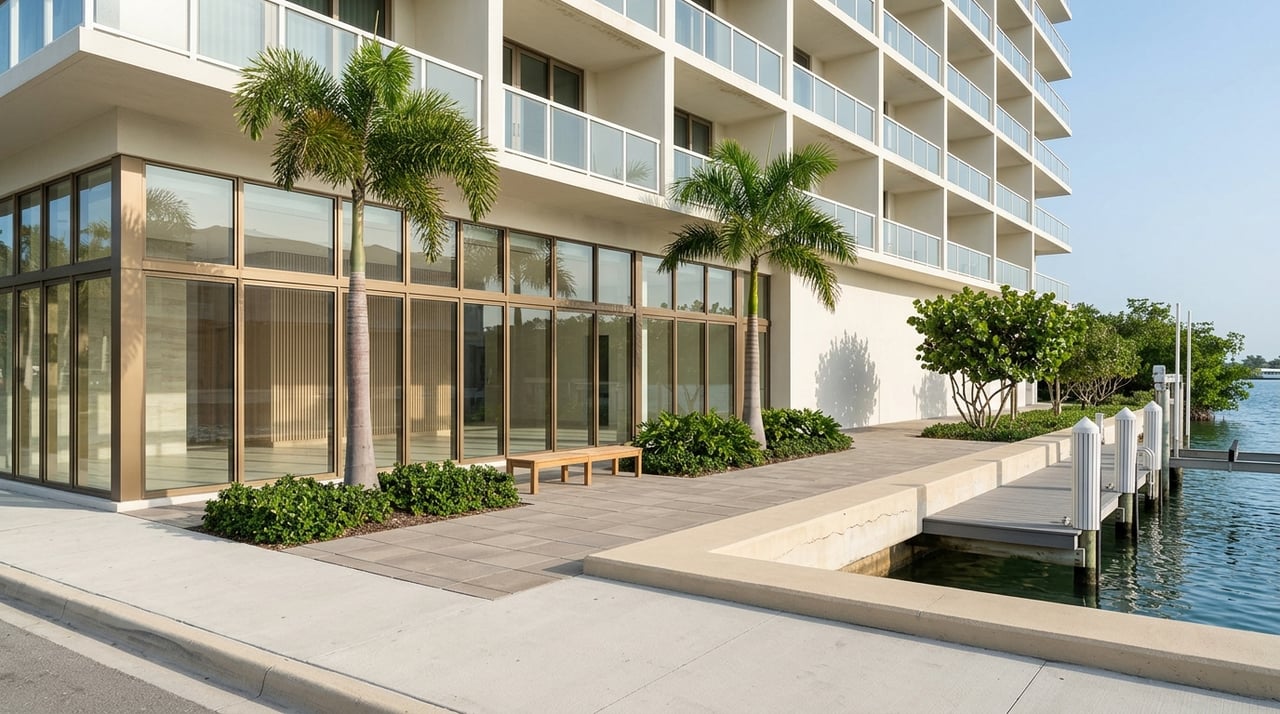
Marco Island boating at a glance
Many properties on Marco Island offer direct or indirect boating access. Direct access properties have no bridges to navigate under to get out to open water, while indirect access will have one or more fixed bridges. Direct access allows for more flexibility in the size and type of boat you can park at your dock, such as larger vessels, sail boats with deeper drafts and tall masts or fishing boats with tall flybridges.
What neighborhood of Marco Island will also be a consideration. If you prefer calmer waters, backwater fishing or exploring the many small islands and hidden quays, a home in the River Area or closer to Goodland may be more appealing to you for quicker access to those areas. If you're more apt to do a quick run out to the Gulf or up the coast, you might prefer the South End or Tigertail area, where you are quickly at the mouth of Big Marco Pass and into the Gulf.
Backwater vs Gulf access
Backwater access means boating in protected bays, canals, and estuaries. It is ideal for small center consoles, flats boats, and relaxed cruising.
- Pros: calmer water, easy access to local amenities, scenic cruising.
- Considerations: shallow depths at low tide, no-wake zones, and narrow channels that limit speed and maneuvering.
Gulf access gives you open-water routes for offshore fishing, longer-range cruising, and larger vessels.
- Pros: deeper water and direct routes once outside the passes.
- Considerations: exposure to wind and swell, possible bridge or air-draft limits on certain routes, and a need for deeper water at your dock.
Bridge and clearance basics
A few terms make planning simple:
- Vertical clearance: height from the waterline (usually at Mean High Water) to the lowest point of a bridge.
- Horizontal clearance: the width of the navigable opening between bridge supports.
- Air draft: the height of your boat above the waterline.
- Fixed vs movable bridges: fixed spans set a hard limit; movable bridges have opening procedures and schedules.
Local implications: Many Isles of Capri routes to the Gulf do not require passing under bridges, while a good number of Marco Island routes do, but any fixed span along your chosen route still matters for sailboats and towered sportfishers. Compare your boat’s air draft to the posted vertical clearance at Mean High Water, not just at low tide. Always confirm current conditions and any temporary restrictions before you go.
Practical tips:
- For sailboats and tall towers, verify air draft against clearances at Mean High Water.
- If building or modifying a dock, confirm channel depth and whether dredging is allowed or needed.
- Use current charts and check local notices for updates to channel markers or bridge operations.
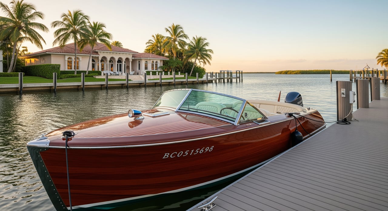
Docks and marinas: what to compare
You will find a mix of private docks, community docks, nearby marinas with wet slips, and dry stack facilities. Slip availability can change quickly, so confirm details directly with operators when you are serious about a property. When evaluating options, focus on the following:
- Depth at low tide and approach-channel depth.
- Slip size: length overall, beam, and piling spacing for safe fendering.
- Shore power: 30A, 50A, or 100A, plus water on the dock.
- Fuel and pump-out access.
- Hurricane plan: haul-out options and insurance requirements.
- Rules: Condo rule limits on boat size or type, guest slip policies, and quiet hours.
Environmental and permitting context: Manatee protection zones and seagrass areas guide speed and anchoring. Dock construction, seawalls, and dredging typically require county and state or federal permits. If you are eyeing a property with an existing dock, confirm that the structure was permitted and is in compliance.
How long to the Gulf?
To estimate, use the simple formula Time (hours) = Distance (nautical miles) / Speed (knots). Convert hours to minutes by multiplying by 60. Your real-world time will vary with no-wake zones, channel bends, tides, and sea state.
Typical context: Routes to nearby Gulf passes in the Naples and Marco Island area are often in the 2 to 8 nautical mile range depending on your exact dock and chosen channel. Many powerboats cruising 20 to 25 knots can be outside a pass in roughly 5 to 20 minutes once past no-wake areas. Slower vessels should plan for 30 to 60 minutes for similar distances.
A quick reference table:
| Distance (nm) | 10 knots | 20 knots | 30 knots |
|---|---|---|---|
| 1 | 6 min | 3 min | 2 min |
| 3 | 18 min | 9 min | 6 min |
| 5 | 30 min | 15 min | 10 min |
| 8 | 48 min | 24 min | 16 min |
| 10 | 60 min | 30 min | 20 min |
Planning tips:
- Factor in no-wake zones near marinas and shorelines.
- Check tides and currents. An outgoing tide can increase current through a pass.
- Use charted channel routes rather than straight-line distances when planning.
Match your boat to your dock
Start with the basics: draft at low tide, slip length and beam, piling spacing, shore power, and any overhead constraints for towers or masts. Then align by boat type.
Small center console or bay boat (16–25 ft, draft under 2 ft)
- Dock needs: about 3 to 4 feet at low tide, simple finger piers, and optional 30A shore power.
- Fit: Most backwater private docks work if the approach channel is maintained.
Dual-console or family cruiser (22–30 ft, draft 1–3 ft)
- Dock needs: 4 to 5 feet at low tide, reliable cleats and fendering, and 30A or 50A power.
- Fit: Good for backwater docks with straightforward access to marked channels.
Express cruiser or sportfisher (30–45 ft, draft 2–3.5 ft)
- Dock needs: 5 to 7 feet at low tide, 50A power, and convenient fuel and pump-out nearby.
- Fit: Choose slips with length for LOA plus fender room and verify approach depths.
Trawler or motor yacht (40+ ft, draft 3–6 ft)
- Dock needs: 6 to 8+ feet at low tide, 50 to 100A shore power, and sturdy moorings.
- Fit: Full-service marinas or robust private docks with reliable approach channels.
Sailboat (keelboat)
- Dock needs: depth varies by keel, plus careful attention to mast clearance on all routes.
- Fit: Favor deeper slips with good maneuvering room and no unavoidable low fixed bridges.
Power or sailing catamaran
- Dock needs: wider slip or piling spacing for beam, often moderate draft.
- Fit: Confirm beam clearance and fender space in advance.
Buyer’s waterfront checklist
- Verify recorded dock ownership and any easements in the deed or condo documents.
- Confirm permitted dock dimensions and identify any unpermitted structures.
- Order depth soundings at your dock at low tide and along the route to the marked channel.
- Inspect seawall age and condition and review any recent repairs.
- Check condo rules on boat length, type, slip assignments, and guest policies.
- Ask about channel maintenance or dredging history and who is responsible.
- Confirm insurance requirements and marina rules such as no-wake and quiet hours.
- Identify the nearest fuel, pump-out, full-service marina, and emergency haul-out.
Simple visuals to guide your planning
- A simple local map marking Isles of Capri, Big Marco Pass and Goodland to the south, and Naples Bay and Doctors Pass to the north, with arrows showing general routes.
- A dock cross-section sketch showing waterline, dock type, pilings, your boat profile with labeled draft and air draft, shore power, and depth at low tide.
- A quick run-time graphic that mirrors the table above for at-a-glance planning.
Ready to explore homes with the right water access?
You deserve a property that fits how you actually boat, from no-wake backwaters to quick Gulf runs. If you want help matching docks, depths, and routes to your ideal boat and lifestyle, reach out to a local guide who knows the channels as well as the neighborhoods. Connect with Jennifer Drake to plan your move and your next launch.
FAQs
How deep should my dock be for Marco Island or Isles of Capri boating?
- Most small boats do well with 3 to 4 feet at low tide, cruisers often want 5 to 7 feet, and larger yachts may need 6 to 8+ feet, so confirm depths at your dock and along your route.
How long does it take to reach the Gulf?
- Many routes to nearby passes are a few nautical miles, so fast powerboats can often be outside in about 5 to 20 minutes, while slower boats should plan for 30 to 60 minutes.
Are there bridge restrictions on routes from Marco Island or Isles of Capri?
- It depends on your exact route, so compare your boat’s air draft to posted clearances at Mean High Water and verify any fixed spans you must pass under.
Do I need permits to build or modify a dock in Collier County?
- Most dock, seawall, or dredging work will require city, county and/or state or federal permits, so check with the city or county and your condo board before planning changes.
What should I look for in a marina or community dock near Marco Island and Isles of Capri?
- Focus on depth at low tide, slip length and beam, shore power, fuel and pump-out access, hurricane plans, and any rules on boat size and guest use.